Cochise Country
Wheeling and Hiking in Arizona's Apache Stronghold
Article Date: March, 2015
Article and Photography by Mark Quasius
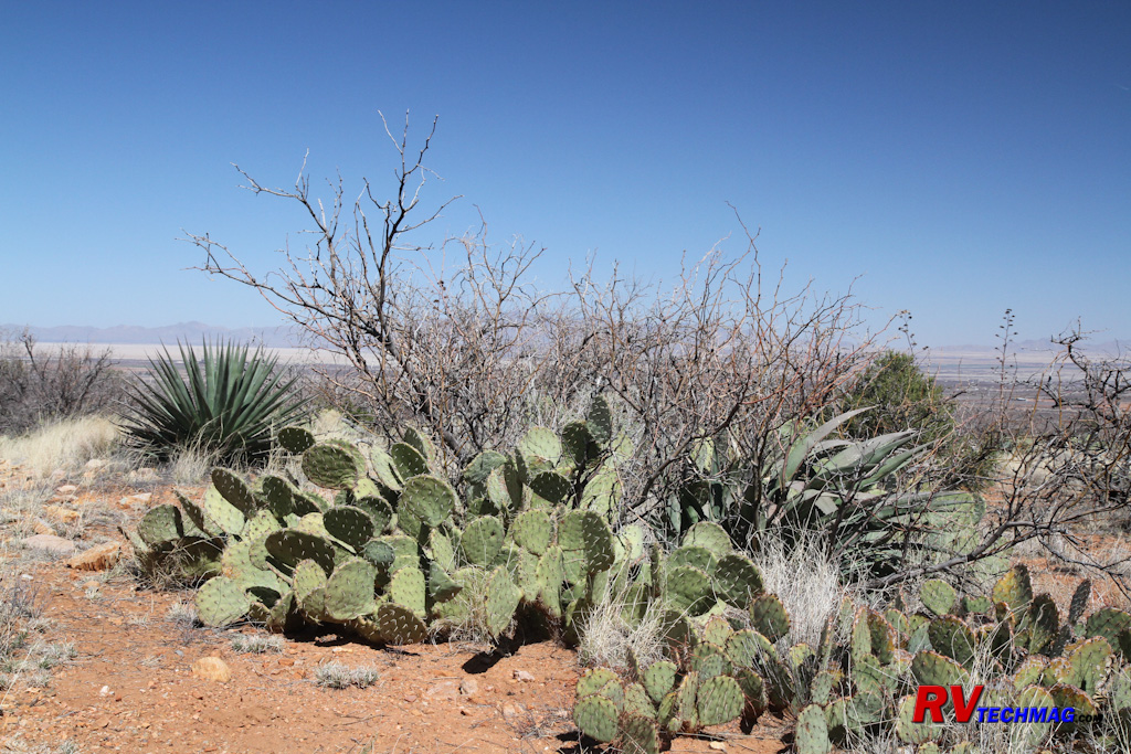
Many of those old western movies included scenes with Apache Indians waiting to ambush the cavalry or unsuspecting
stagecoach travelers. The scene was southern Arizona, which was the turf of Cochise and Geronimo and featured a rugged, dry landscape
populated with cactus and very littler water. Well times have changed but the scenery has not. You can still get out there and explore the
rugged majesty of that terrain. It's just that you won't need the cavalry for protection and you can stay at some nicely appointed RV parks.
Southern Arizona offers much to see and do and is a popular venue for RV travelers. Summer temperatures can get high,
although the humidity is quite low, so most RVers visit in the cooler winter months when the warm temperatures of this area are a welcome
respite from the colder northern states. An ideal area to stay when visiting this area is Benson, Arizona. Benson offers a number of nearby
RV parks and has a full range of services in town to handle any RVer's needs.
Cochise Stronghold
|
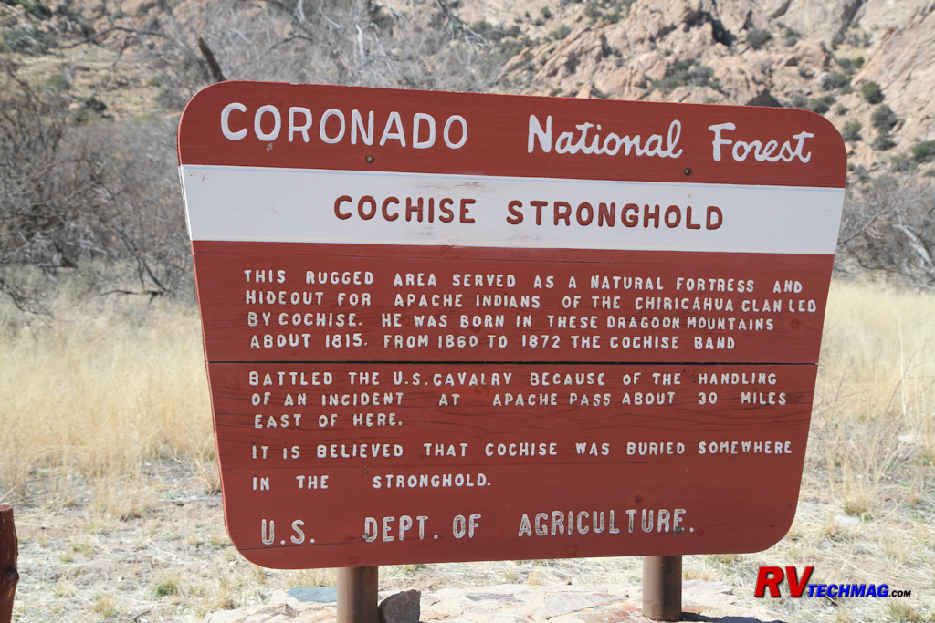
The Cochise Stronghold is located in the Coronado National Forest.
|
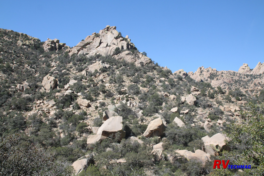
The Cochise Stronghold is surrounded by towering rocky peaks offering plenty of cover for avoiding contact or creating ambushes. |
The Apache tribes covered a wide area but the Chiricahua Apache were located south of Benson. The heart of their land
was the Cochise Stronghold on the east side of the Dragoon Mountains. The stronghold contained a number of locations for their base camp and
offered a protective hiding place where Cochise's tribe could spot approaching visitors at a distance. It also afforded excellent protection
and cover should they wish to avoid any visitors or from which to base an ambush. The location was important because it contained a spring and
stream for their all important water supply. Various camps were set up along the length of the stream.
Today, the US Forest Service maintains a picnic and camping site in the stronghold. Numerous hiking trails take you
through the valley so be sure to bring good hiking boots. The roads are good so you won't need 4 wheel drive or an SUV to access the site.
Access is gained by taking Interstate 10 exit 318 and heading through the small town of Dragoon. Follow Dragon Road east until it meets
Cochise Stronghold Road. Follow that road south to the graveled Ironwood Road, which will take you west into the stronghold. The Forest Service
campground and picnic area are at the end of the road. Be sure to bring plenty of drinking water because it does get hot when hiking in
the stronghold.
|
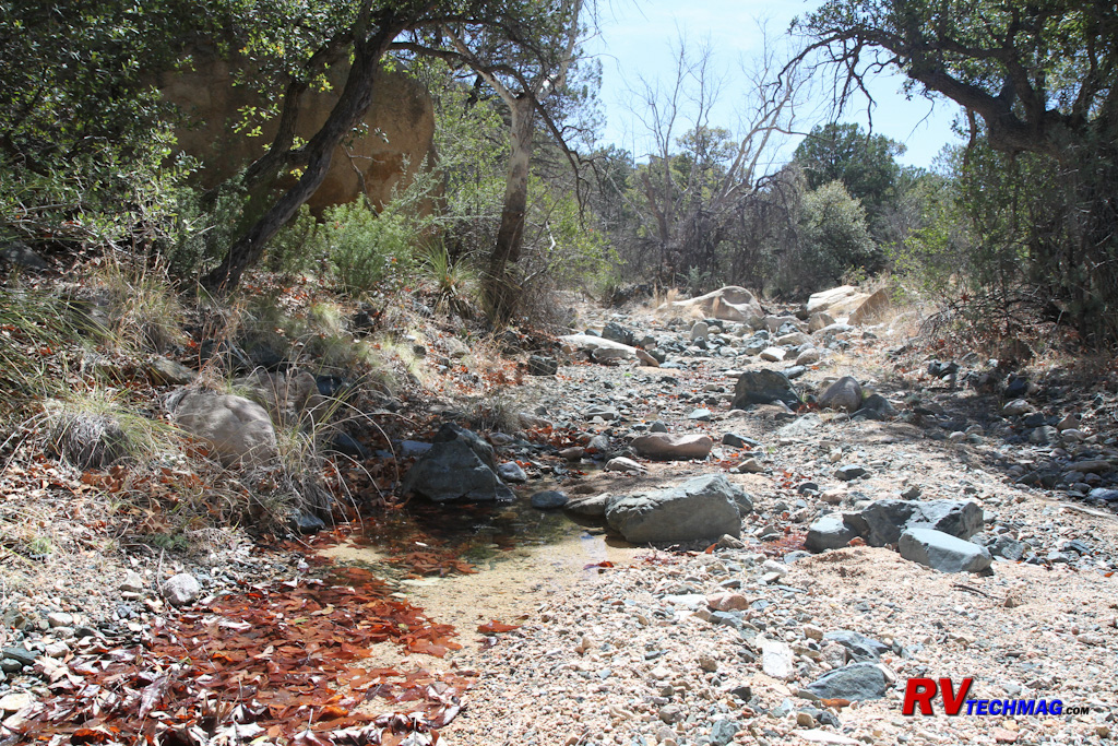
Apache campsites were strategically located near sources of water in the Stronghold.
|
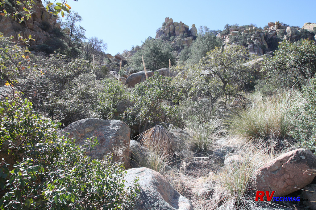
Hiking trails in the Cochise Stronghold pass through rough terrain.
|
Dragoon Springs
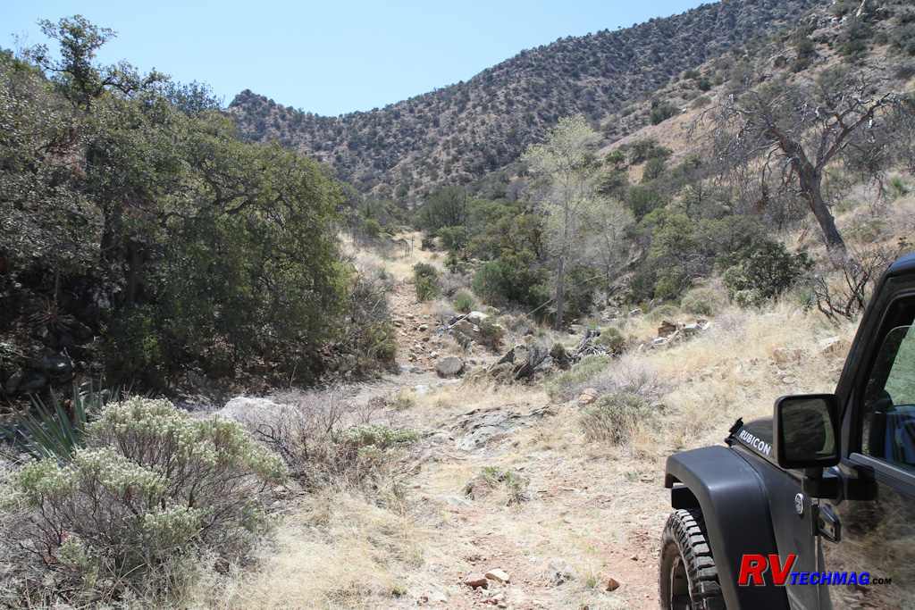
The trail to Dragoon Springs is rough but drivable by Jeep or other 4x4s. The stage station attendants would travel
this route by wagon to retrieve water from the springs.
Dragoon Springs is located on the west side of the Dragoon Mountains. The springs were a source of water for the
Apache as well as for the nearby Butterfield Stage Station. The Butterfield Stage ran from San Antonio, Texas to San Diego, California
and was established in 1857 when the need was seen for an overland mail route that serviced the west. The route traversed the southern
portion of the country, passing through El Paso and Yuma over some of the most grueling mountain and desert terrain possible. It took 22
days to cover the distance and 139 relay stations were placed along the route to service the 1,800 livestock and 250 coaches owned by
John Butterfield. The stage ran until 1861, when the civil war and increased hostilities with the Apaches relocated the route through
Utah to the north.
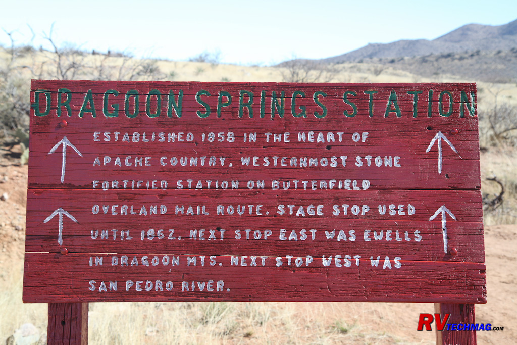
The Dragoon Springs Station was an important stopover spot on the Butterfield Stage route were teams of horses could be exchanged.
One relay station was located at the mouth of Jordan Canyon, just west of the Dragoon Mountains. A 45' by 55'
structure was built with a corral at one end and two 9' by 10' rooms at the other end. The stage station was not without trouble. In 1857 a
fight broke out amongst construction workers and three men were killed. In 1862, four confederate soldiers died in a battle with Apaches and
later that year two US army soldiers were killed in a similar altercation. The graves of several of these remain to this day.
|
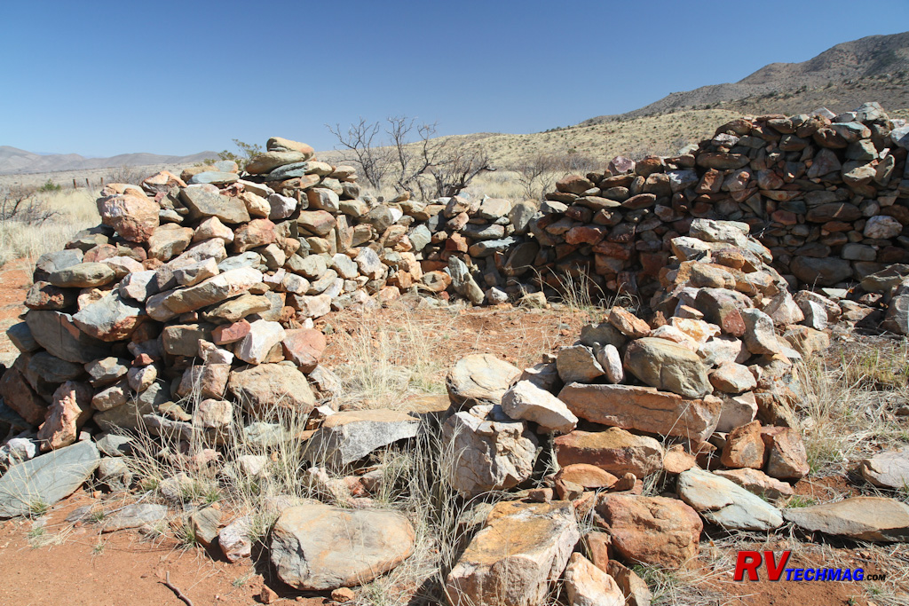
The Dragoon Springs Stage station was small and served as a corral for the horses and a small area for the attendants to live in.
|
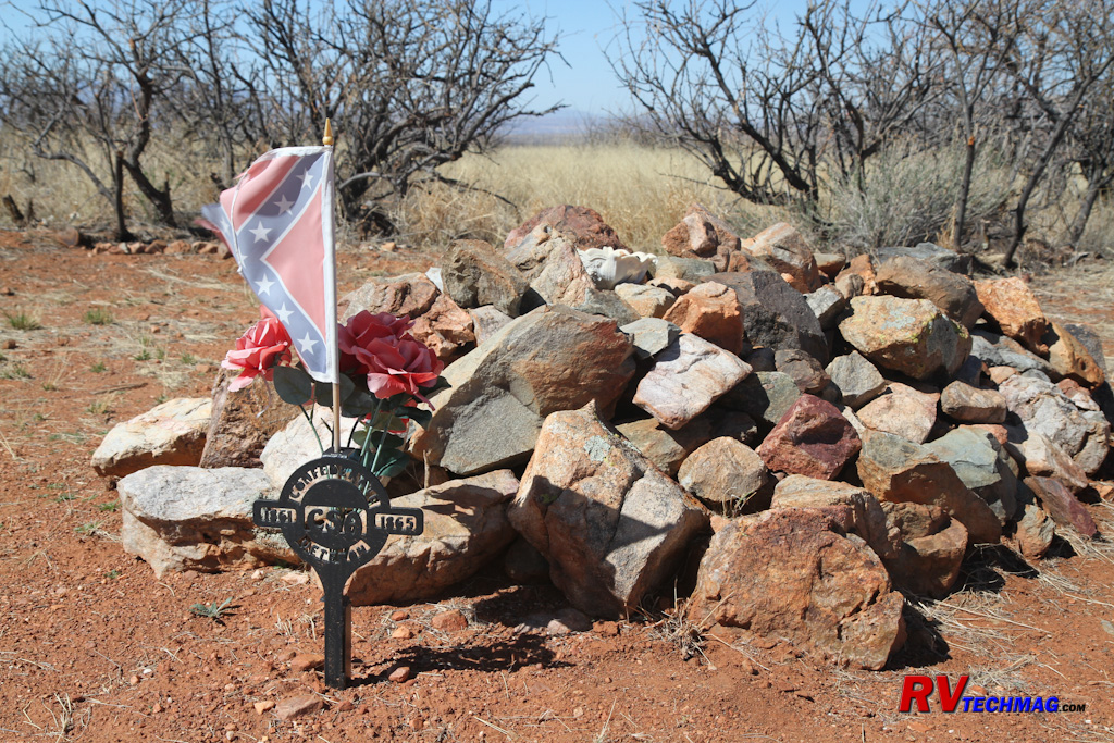
During the Civil War, Confederate troops were dispatched to Dragoon Springs to hold the stage station from any possible attack by
Union troops from California. They were massacred by Apaches in 1865 and the remains of four CSA soldiers are buried near the station.
|
Water for the stage station was provided via wagon from the head of Dragoon Springs. The springs and the stage station
along the way can be accessed via a Jeep trail that leads from the town of Dragoon. From Dragoon we headed south on the graveled Old Ranch Road
until it turned to dirt. We then followed the signs and continued south on the Jeep road towards the springs. The road ends at the springs but
a trail will let you hike the last bit to the source. The Butterfield Stage Station is located about a mile from the end. A small parking area
to the side of the trail will lead you up the short hiking trail to the stage station.
Return to Home Page
If you enjoyed this article be sure to recommend RVtechMag.com to your friends, like us on Facebook or Twitter
or subscribe to our RSS feed.


|


